The days of wandering a field with nothing but a vague legend and a metal detector are fading fast. Today's most successful treasure hunters and amateur archaeologists work with GPS precision, not guesswork. A single set of accurate coordinates can mean the difference between a productive grid survey and hours of wasted effort. This article covers how GPS technology works in practice, which devices deliver the best results, and how you can combine GPS data with historical maps and AI-powered tools to find artifacts and significant sites with far greater confidence.
Table of Contents
- Why GPS is a game changer for treasure hunting
- Types of GPS technology used in artifact research
- Step-by-step: How to use GPS for field surveys and discoveries
- Advanced techniques: GPS, historic maps, and GIS integration
- What most treasure hunters miss about GPS
- Take your treasure hunting further with PinPoint Treasure
- Frequently asked questions
Key Takeaways
| Point | Details |
|---|---|
| GPS boosts precision | Switching from guesswork to GPS turns searches into systematic and accurate expeditions. |
| Know your device | Understanding the differences between GPS types helps you select the right tool for your research. |
| Map integration unlocks more | Combining GPS with historic maps and GIS can reveal hidden patterns and maximize your discoveries. |
| Tech and intuition balance | The best results merge GPS capability with on-the-ground expertise and observation. |
Why GPS is a game changer for treasure hunting
GPS stands for Global Positioning System, a satellite-based navigation network operated by the U.S. government. At its core, GPS works by triangulating signals from at least four satellites to pinpoint your location on Earth. Most people know GPS from car navigation, but for treasure hunters and field researchers, it serves a very different purpose: it turns a search area into a measurable, repeatable, and shareable scientific grid.
Early GPS units in the 1990s were accurate to roughly 100 meters. Today, basic consumer devices routinely achieve 3 to 15 meters, and professional RTK (Real-Time Kinematic) systems push that down to centimeter-level precision. That leap in accuracy changes everything. You can now mark the exact location of a coin find, return to that spot six months later, and start digging within inches of your original mark.
GPS use for mapping and gridding transforms random searches into systematic operations through precise mapping, waypoint logging, and site gridding for treasure hunters, metal detectorists, and amateur archaeologists. That shift from random to systematic is the key insight.
Here is what GPS brings to your fieldwork:
- Waypoint logging: Save every find location instantly, no paper sketches required.
- Grid surveys: Divide a search area into measurable lanes and track coverage.
- Site revisits: Return to productive zones with pinpoint accuracy.
- Data sharing: Send coordinates to partners, historians, or permit authorities.
- Pattern recognition: Plot multiple finds to identify clusters and site boundaries.
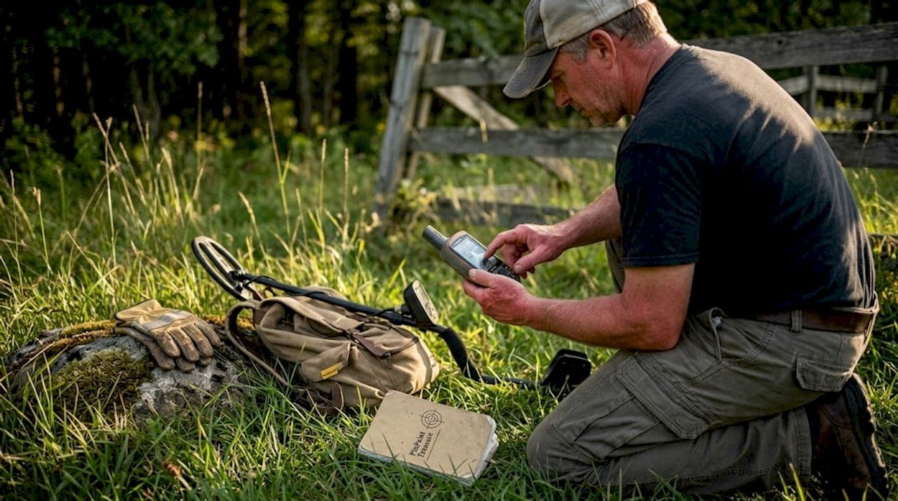
Pro Tip: Even a basic $100 handheld GPS unit offers a massive advantage over eyeballing landmarks. Start with what you have, then upgrade to SBAS or RTK as your fieldwork demands grow. If you are new to the hobby, reviewing metal detecting basics will help you understand how GPS fits into a broader field strategy.
Types of GPS technology used in artifact research
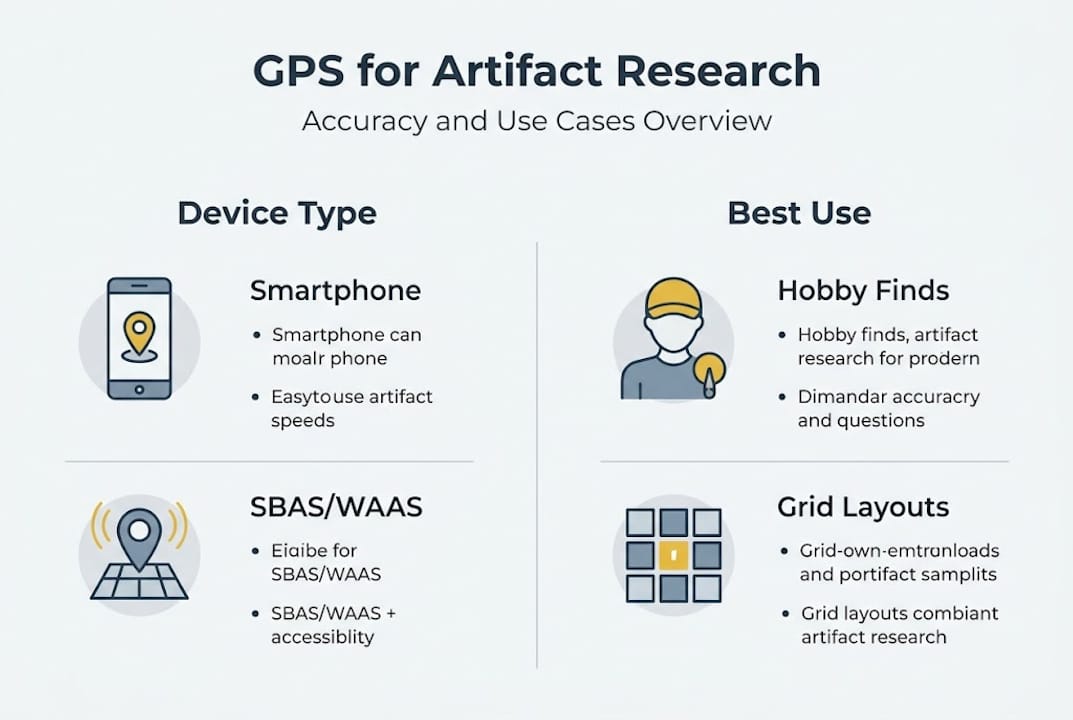
Not all GPS devices are created equal, and choosing the right one for your research type matters. The three main categories you will encounter in treasure hunting and archaeological fieldwork are consumer GPS, SBAS/WAAS-enhanced GPS, and RTK GPS.
Consumer GPS devices are your standard handheld units and smartphone apps. They are affordable, portable, and perfectly adequate for initial site surveys, logging general waypoints, and navigating to a search area. Accuracy typically falls between 3 and 15 meters under open sky.
SBAS/WAAS GPS (Satellite-Based Augmentation System / Wide Area Augmentation System) uses ground-based reference stations to correct satellite signal errors. The result is accuracy in the 1 to 3 meter range, sometimes as tight as 3 to 10 feet. This level works well for metal detecting surveys where you need reliable waypoints but do not require sub-meter precision.
RTK GPS is the professional standard. It uses a base station and a rover unit to calculate corrections in real time, achieving centimeter-level accuracy. RTK is essential when you are laying out precise excavation grids, recording artifact positions for formal archaeological reports, or working on sites where exact spatial relationships between finds matter.
As GPS accuracy data shows, methodologies include using consumer GPS for UTM coordinates in surveys, RTK for grid layout and pinpoint excavation, and SBAS/WAAS for 3 to 10 foot accuracy in metal detecting, all integrated with GIS for overlaying finds on historic maps.
| GPS Type | Typical Accuracy | Best Use Case | Approx. Cost |
|---|---|---|---|
| Consumer/Smartphone | 3 to 15 meters | Initial surveys, navigation | $0 to $200 |
| SBAS/WAAS | 1 to 3 meters | Metal detecting, waypoint logging | $200 to $600 |
| RTK | 1 to 3 centimeters | Excavation grids, formal archaeology | $1,500 and up |
For most hobbyist detectorists, SBAS-capable units hit the sweet spot of accuracy and cost. If you are working alongside archaeologists or submitting formal site reports, RTK is worth the investment. Pairing any of these devices with LiDAR and GPS analysis adds another layer of precision to your pre-field research.
Step-by-step: How to use GPS for field surveys and discoveries
Knowing which device to use is only half the equation. Here is a practical workflow for integrating GPS into every phase of your treasure hunting or archaeological survey.
-
Plan your site remotely. Before you leave home, load GPS-enabled satellite maps or topographic overlays into your device or app. Identify access points, terrain features, and areas of historical interest. Mark preliminary waypoints based on your research.
-
Set up a search grid. On arrival, use your GPS to establish a systematic grid across the search area. Divide the zone into lanes, typically 1 to 2 meters wide for metal detecting. This ensures complete coverage and prevents you from re-searching the same ground.
-
Log every find immediately. The moment your detector signals or you spot a surface artifact, mark a waypoint. Include a brief note: depth, object type, soil conditions. This takes 30 seconds and saves hours of confusion later.
-
Photograph with GPS metadata. Most smartphones embed GPS coordinates directly into photo EXIF data. Take a photo of each find in situ before recovery. You now have a time-stamped, location-tagged record.
-
Export and review after the session. Download your waypoints into mapping software. Look for spatial clusters, alignments with historical features, or gaps in your coverage that warrant a return visit.
As field research methodology confirms, waypoint logging and site gridding enable systematic operations that transform how discoveries are recorded and analyzed.
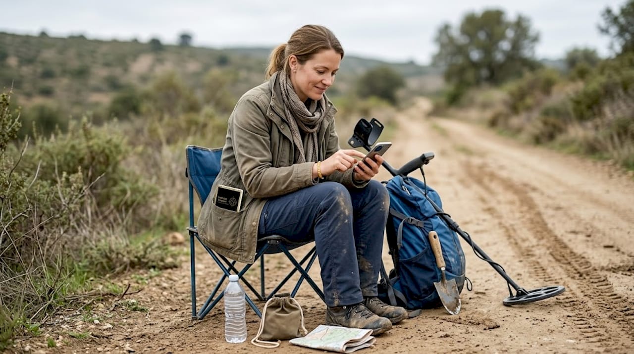
Pro Tip: Combine GPS logs with photographs for bulletproof documentation. If you ever need to report a significant find to a land manager or historical society, having timestamped photos linked to precise coordinates makes the process straightforward and credible. For AI-assisted planning before you head out, the AI tips for GPS searches guide walks through how to generate field-ready coordinates from historical records.
"The difference between a hobbyist and a serious field researcher often comes down to documentation. GPS-logged waypoints with photographic records turn a day's detecting into a permanent, shareable dataset."
Advanced techniques: GPS, historic maps, and GIS integration
For those ready to push beyond basic waypoint logging, combining GPS data with Geographic Information Systems (GIS) and historical documents opens a new level of research capability.
GIS is software that layers multiple data sources onto a single map. Think of it as stacking transparencies: one layer shows modern satellite imagery, another shows an 1850 land survey, a third shows your GPS find locations. Where those layers align, patterns emerge that no single data source could reveal alone.
Here is how to build a practical GPS and GIS workflow:
- Digitize historic maps. Scan old county plat maps, military survey maps, or Sanborn fire insurance maps. Georeference them in free tools like QGIS by aligning known landmarks to modern coordinates.
- Import your GPS waypoints. Export your field data as a GPX or CSV file and load it into the same GIS project.
- Overlay and analyze. Look for finds that cluster near historic road intersections, old homestead foundations, or battle lines marked on period maps.
- Add LiDAR data. Elevation data from USGS 3DEP reveals terrain anomalies invisible on the surface, like filled-in wells, collapsed root cellars, or leveled building platforms.
Integration with GIS allows overlaying finds on historic maps for deeper analysis, turning raw coordinates into meaningful patterns across time and landscape.
| GPS Find | Coordinates | Nearest Historic Feature | Map Source |
|---|---|---|---|
| Silver coin, 1847 | 38.9072° N, 77.0369° W | Old mill site | 1856 county plat |
| Iron hardware | 38.9081° N, 77.0374° W | Homestead foundation | Sanborn map, 1892 |
| Ceramic shard | 38.9065° N, 77.0361° W | Road intersection | Military survey, 1863 |
When you see three finds clustering within 20 meters of a historic mill site, that is not coincidence. That is data. Pairing this approach with LiDAR terrain analysis gives you subsurface context that makes the pattern even clearer.
What most treasure hunters miss about GPS
Here is the uncomfortable truth: GPS is only as good as the person interpreting the data. We see this pattern repeatedly. A detectorist invests in a quality RTK unit, builds a meticulous grid, logs every waypoint, and still walks away from a productive site because the technology told them one thing while the land was saying something else.
GPS cannot smell the difference between disturbed soil and undisturbed ground. It cannot tell you that the old-timer at the local diner mentioned a collapsed barn foundation 200 meters east of your grid. It cannot read the way a tree line bends around what was once a fence row. Those details live in human observation and local knowledge, not satellite data.
The most productive field researchers we know treat GPS as a precision recording tool, not a discovery engine. They use it to document what their eyes, ears, and instincts have already identified as promising. Over-reliance on the grid can actually narrow your focus when the real target sits just outside the boundary you drew on a screen.
Always verify your GPS grids against visible land features: fence posts, old tree stumps, stone walls, and drainage patterns. These physical clues often align with legend-inspired hunts and historical records in ways that pure coordinate data cannot capture. Technology and field intuition work best as partners, not substitutes for each other.
Take your treasure hunting further with PinPoint Treasure
The GPS skills and GIS techniques covered in this article are exactly the kind of precision research that PinPoint Treasure is built to support. The platform integrates USGS 3DEP LiDAR data, AI-powered archive research, and anomaly visualization tools so you can move from raw GPS coordinates to high-probability target zones faster than any manual workflow allows.

Whether you are logging finds on a colonial homestead survey or cross-referencing battle site coordinates with historic maps, the PinPoint Treasure platform brings AI-driven intelligence to every stage of your research. Plans start free, with Pro and Field Pro tiers adding full LiDAR access, offline maps, and GPR analysis. Ready to put data-driven coordinates to work? Explore more treasure hunting guides and see how far precision research can take you.
Frequently asked questions
How accurate is GPS technology for finding artifacts?
Basic handheld GPS is accurate to about 3 to 15 meters, while RTK systems achieve centimeter-level precision suitable for formal excavation grids and detailed site mapping.
Can I use a smartphone GPS for metal detecting or archaeology?
Yes, smartphones provide adequate accuracy for initial surveys and waypoint logging. For better results, SBAS/WAAS devices offer 3 to 10 foot accuracy that covers most metal detecting fieldwork reliably.
How do I combine GPS data with historic maps?
Export your GPS coordinates as a GPX or CSV file, then import them into GIS software like QGIS. Overlaying GPS with historic maps lets you align your finds with period features such as roads, homesteads, and property boundaries.
What's the biggest mistake when using GPS in treasure research?
Relying solely on GPS data without field verification is the most common error. Physical land features, local knowledge, and visual observation must work alongside coordinate data to produce reliable results.
Recommended
- PinPoint Treasure — AI Treasure Hunting, Gold Prospecting & Mystery Solving Platform
- PinPoint Treasure — AI Treasure Hunting, Gold Prospecting & Mystery Solving Platform
- PinPoint Treasure — AI Treasure Hunting, Gold Prospecting & Mystery Solving Platform
- PinPoint Treasure — AI Treasure Hunting, Gold Prospecting & Mystery Solving Platform
- Top objets à tracer avec GPS : guide pratique 2026