Blog
Discover our latest articles and blogs

Topographic Anomaly Mapping: Techniques for Treasure Hunters
Learn advanced topographic anomaly mapping techniques using LiDAR and DEMs to locate buried relics and historical sites with precision before your next search.
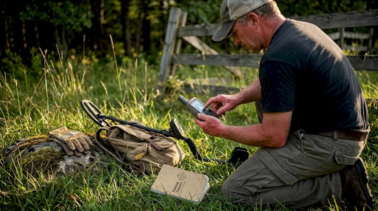
How GPS transforms treasure hunting and artifact research
Learn how GPS technology transforms treasure hunting and artifact research with precision mapping, GIS integration, and step-by-step field survey techniques.

5 terrain analysis methods that transform treasure hunting
Discover 5 advanced terrain analysis methods that help treasure hunters and metal detectorists find hidden sites faster using LiDAR, GIS, and AI-powered tools.
Satellite data analysis: find historical sites in 2026
Learn how satellite data analysis helps treasure hunters and archaeological researchers locate hidden historical sites and potential treasure zones with precision.

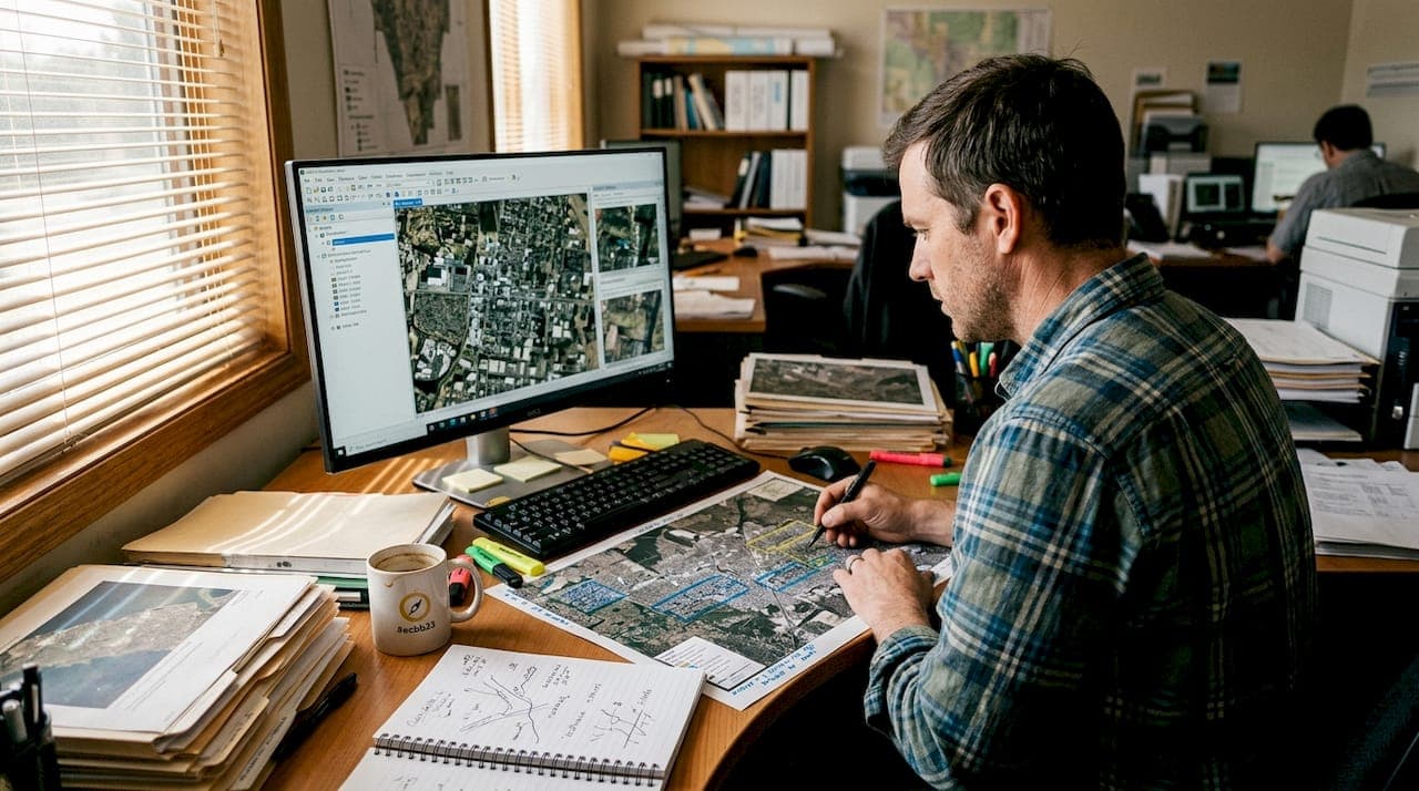
Mastering the historical research workflow for treasure hunters
Master the historical research workflow for treasure hunting. Learn LiDAR, AI tools, field survey steps, and ethical reporting to make data-driven discoveries.